

The National Forest Visitor Maps
The National Forest was England’s first new forest in 1000 years. Since 1991, 9 million+ trees have been planted across 200 square miles of the Midlands. It is one of the biggest environmental projects in Europe.
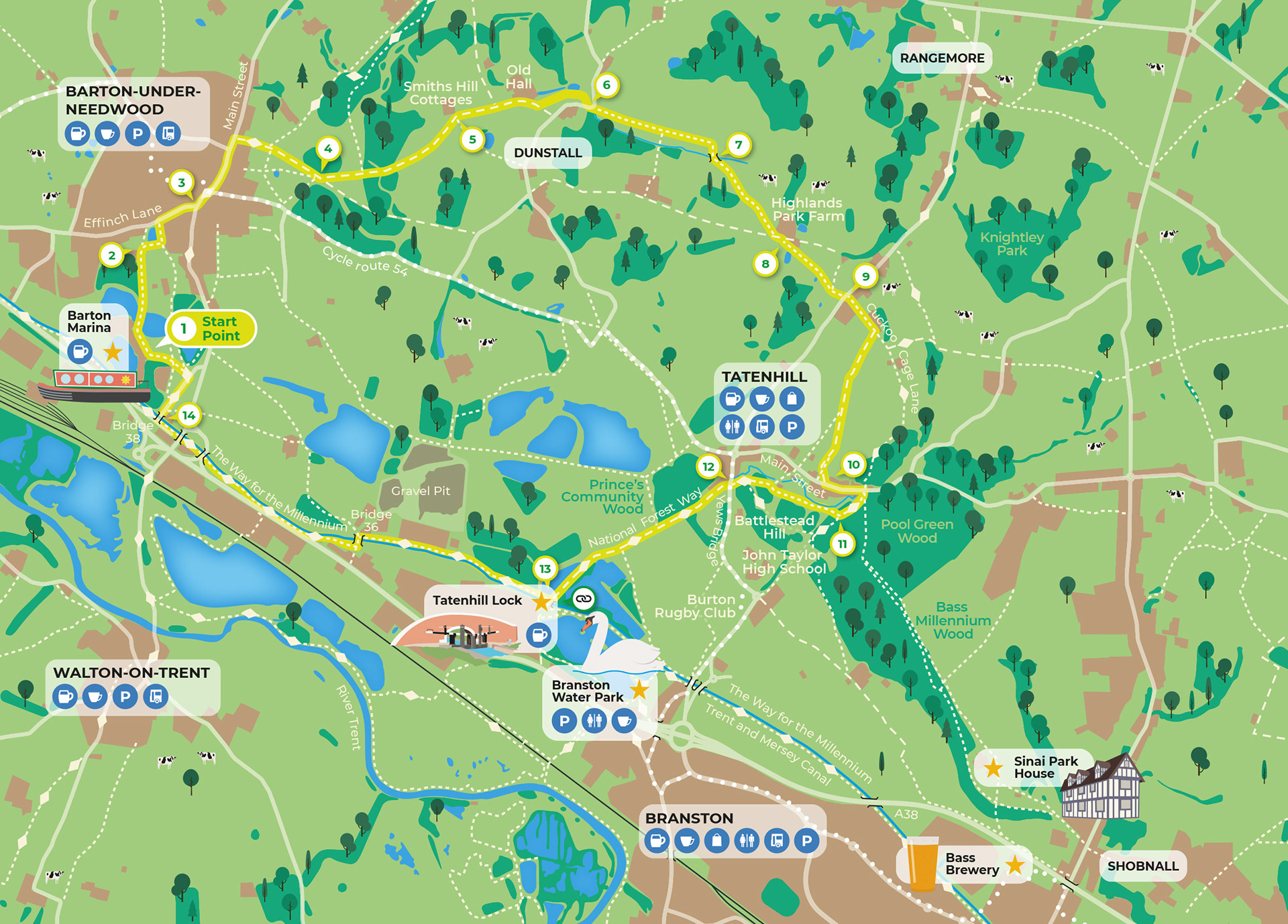
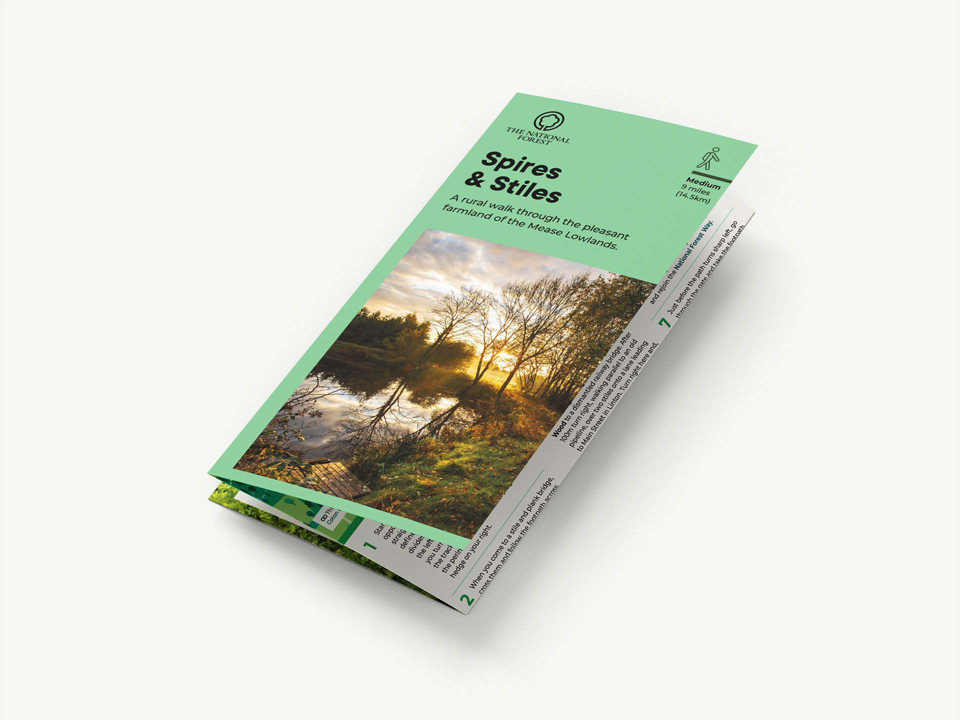
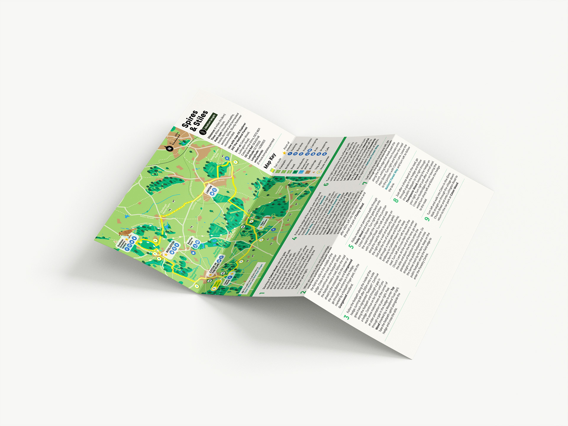
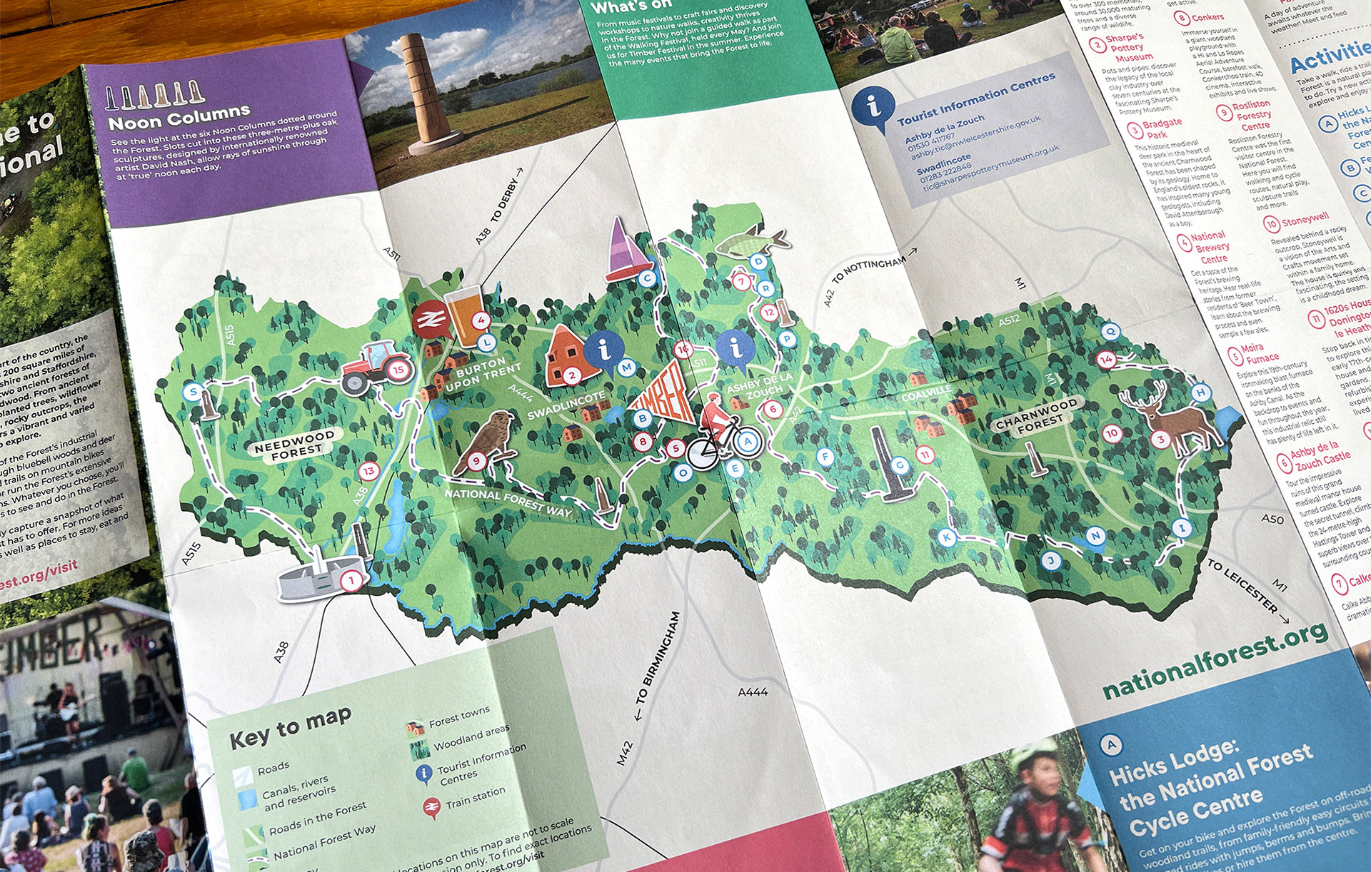
To coincide with the complete brand rework in 2018, I developed a new illustrative map style to help bring the area alive. A collection of printed leaflets featuring the maps were created to guide visitors on walking routes throughout the forest, taking in local beauty spots, attractions and businesses.
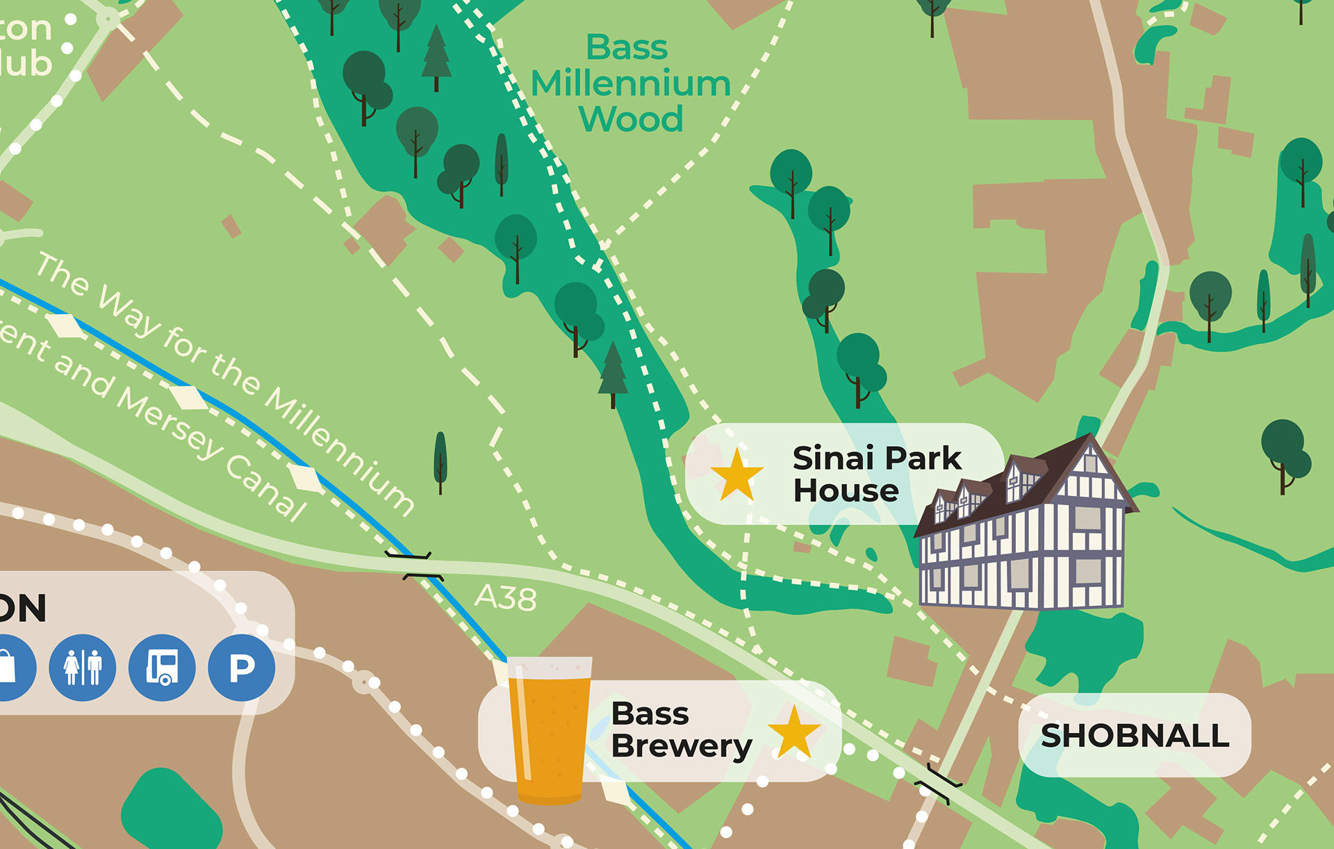
Close up detail
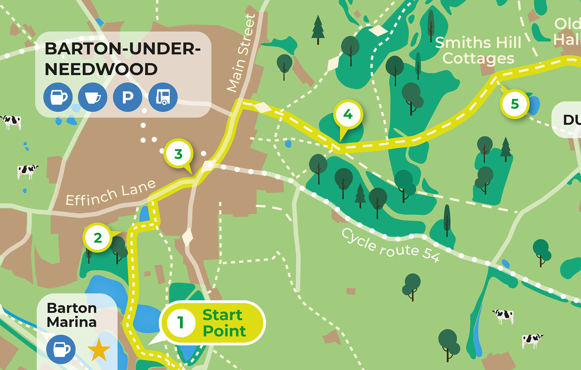
Close up detail
Each map featured on a leaflet detailing the planned walk, including points of interest and information about the area.
“Ben worked closely with us to develop the graphic language and illustrations for the National Forest mapping style. It’s a mark of the original creativity and detail of his work, that the original walking maps have been reprinted many times and are still in use today, and the style has been applied to newer digital applications and signs across the Forest.”
Howard Swift
Common Ground Communication – Director
Common Ground Communication – Director
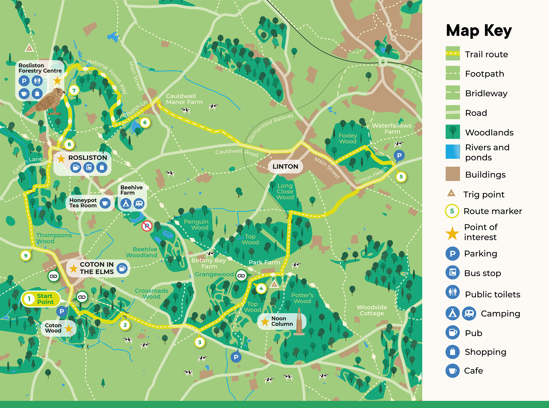
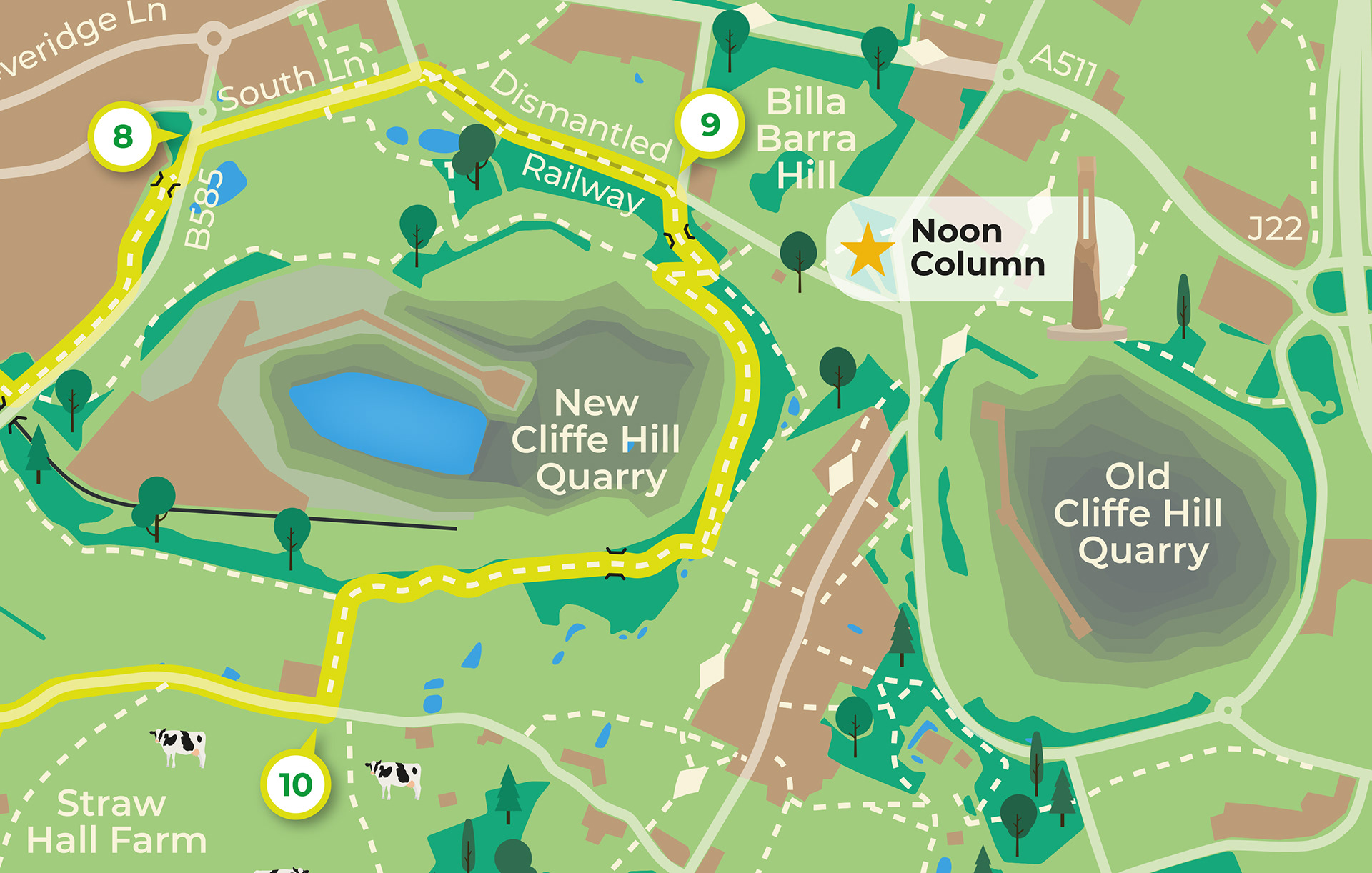
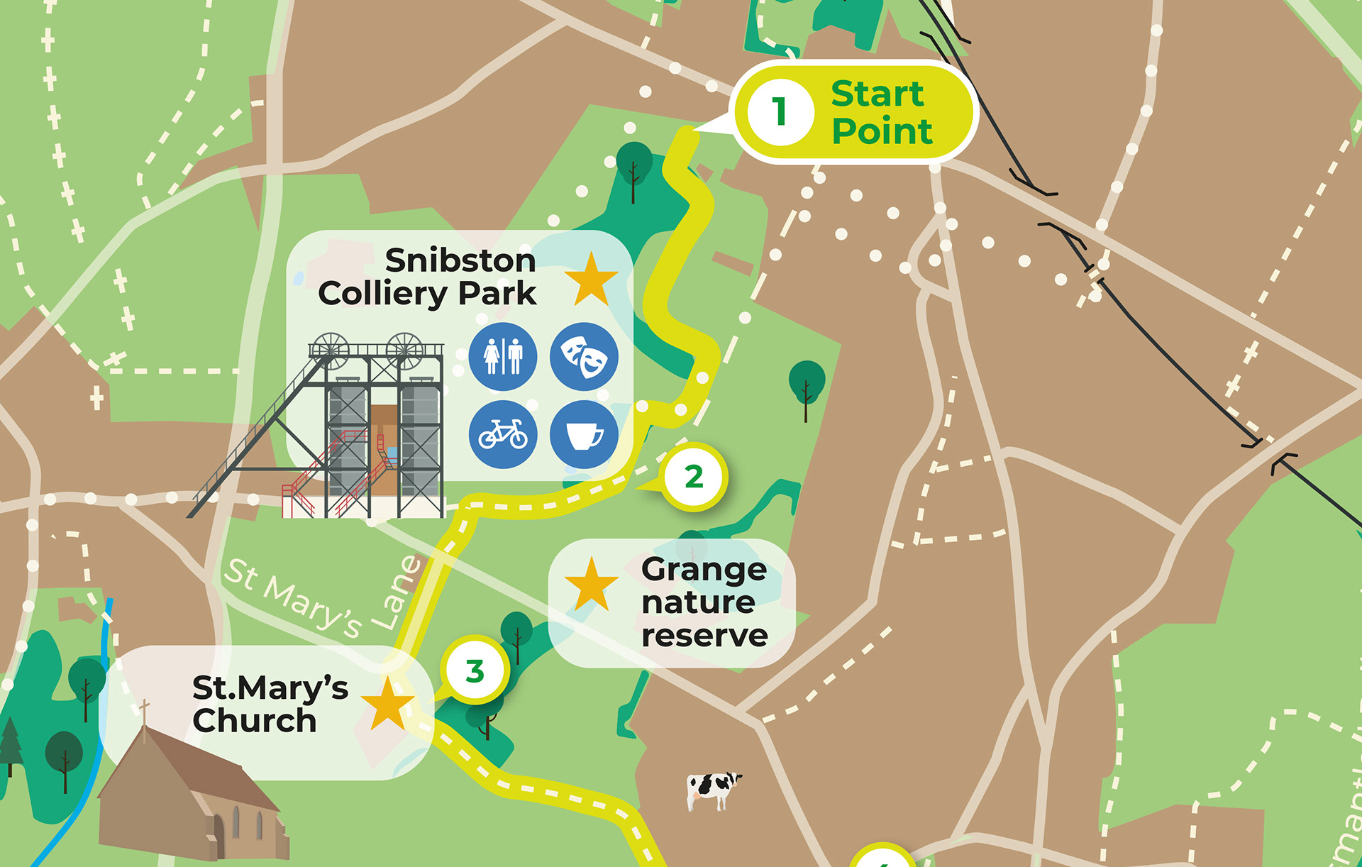
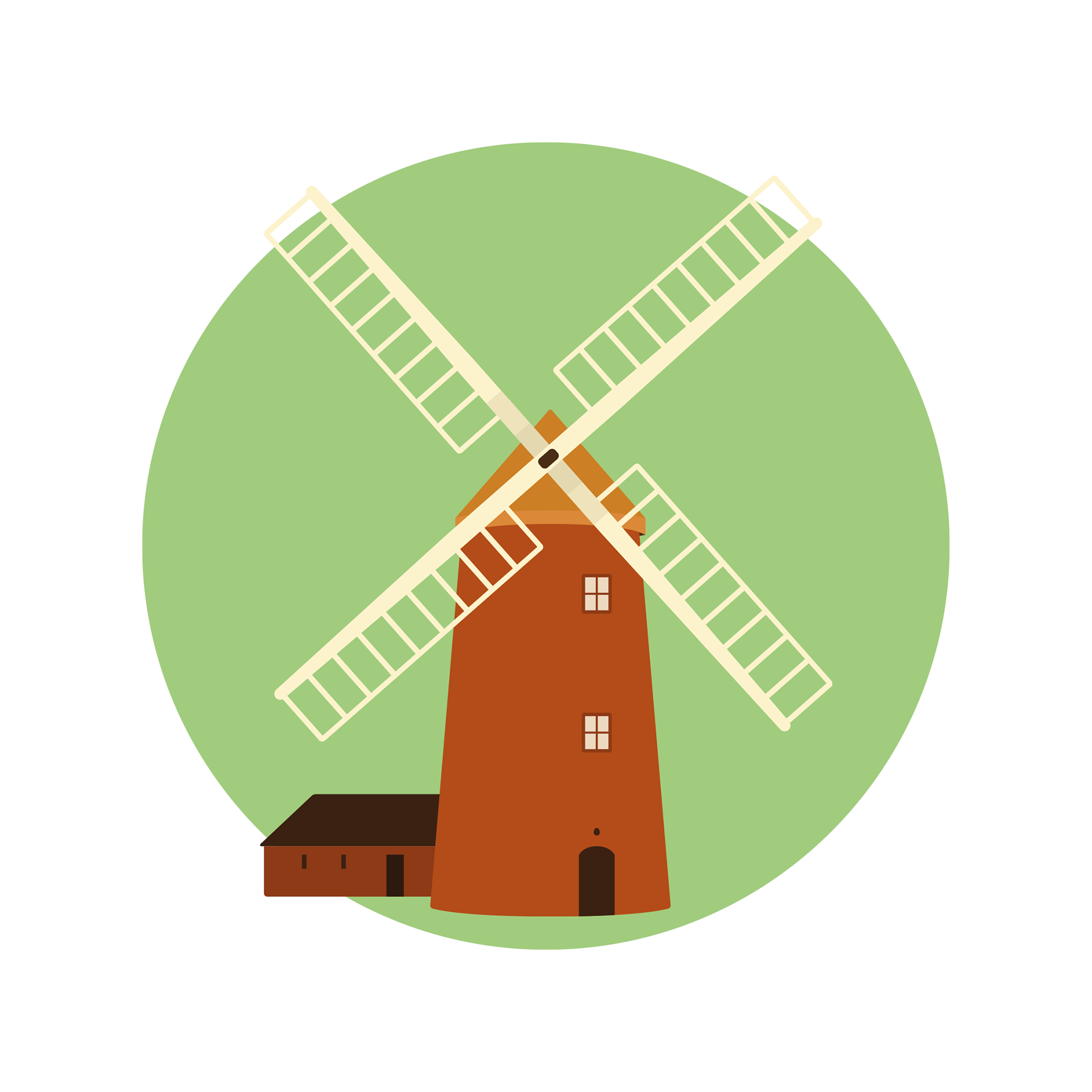
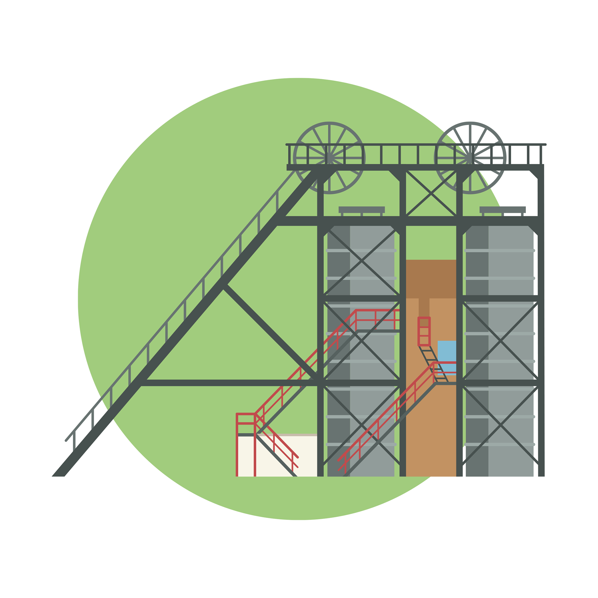
Spot illustrations were used throughout the series of maps to depict points of interest.


I also created an overview map of The National Forest boundary.
Credits
These 100% vector maps were created by Ben Horne – Ben Makes Maps with Adobe Illustrator and without the help of AI.

Need a custom map for your project?
