

RSPB: Maps for all
The Royal Society for the Protection of Birds (RSPB) is a charitable organisation, which works to promote conservation and protection of birds and the wider environment through the operation of nature reserves throughout the United Kingdom.
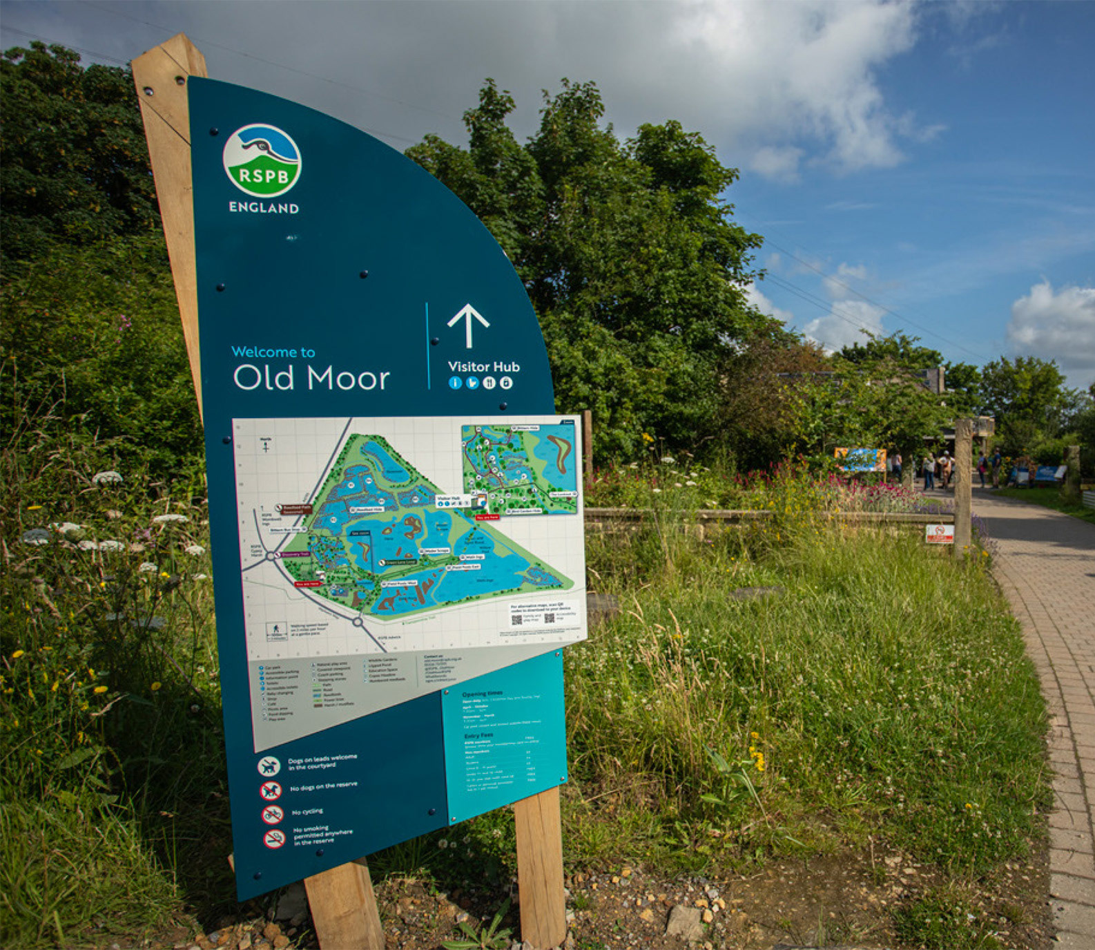
The RSPB Maps for All project set out to transform how visitors of all ages, backgrounds and abilities experience nature across the UK’s 200+ RSPB reserves. The goal was clear: to design a flexible mapping system that helps people feel confident exploring, connects them with nature, and reflects the RSPB’s commitment to accessibility and inclusion.
I worked as a freelance designer within the team at The Way Design, contributing to the development of the flexible mapping system including the various map styles and icons.
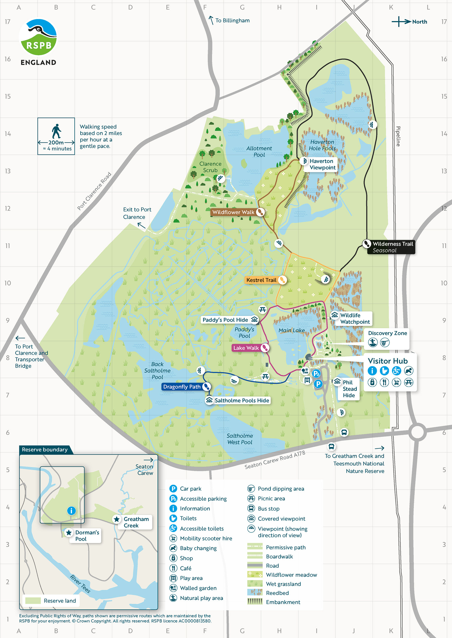
RSPB Saltholme General Map
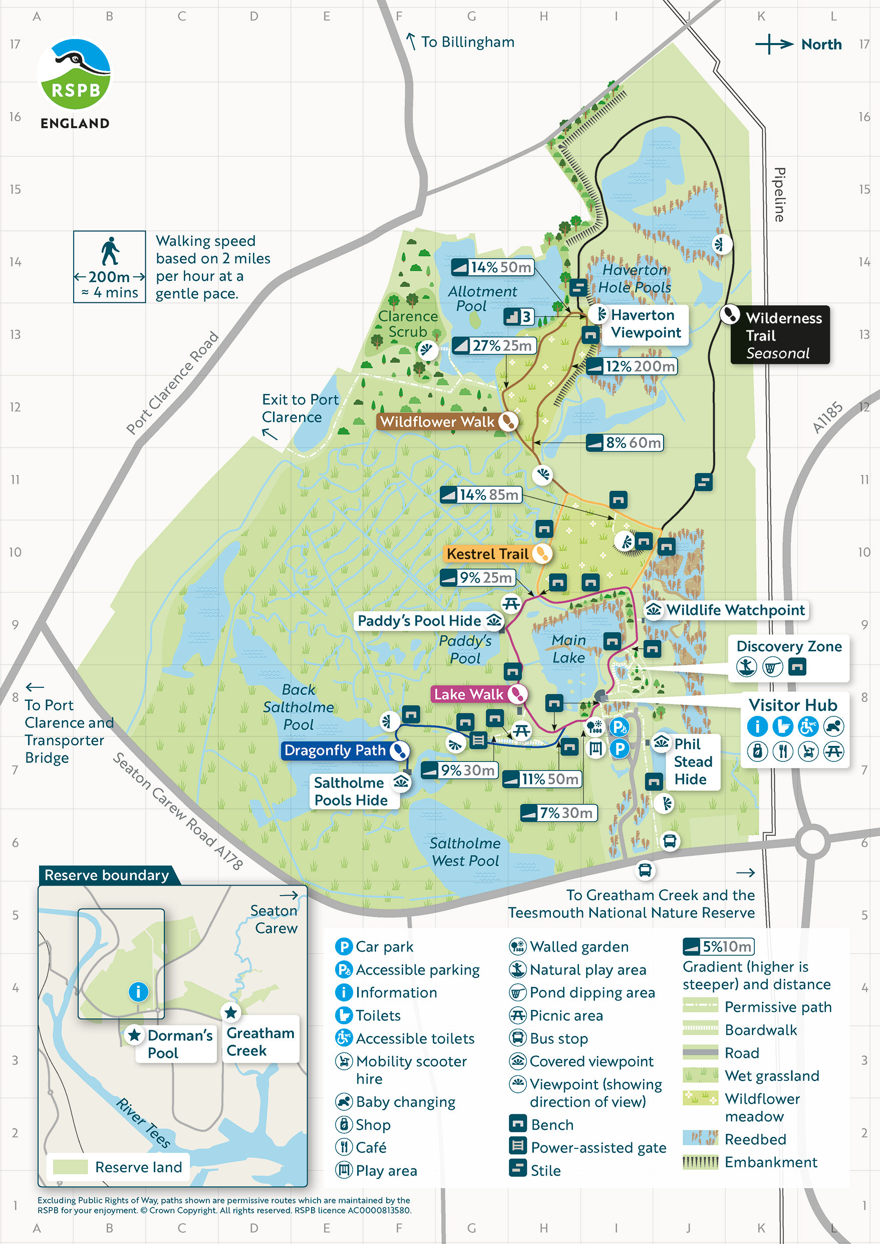
RSPB Saltholme Access Map
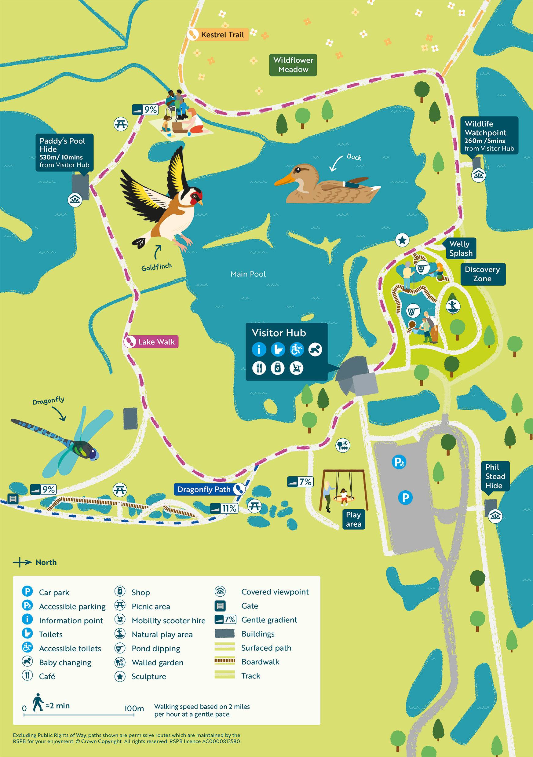
RSPB Saltholme Family Map
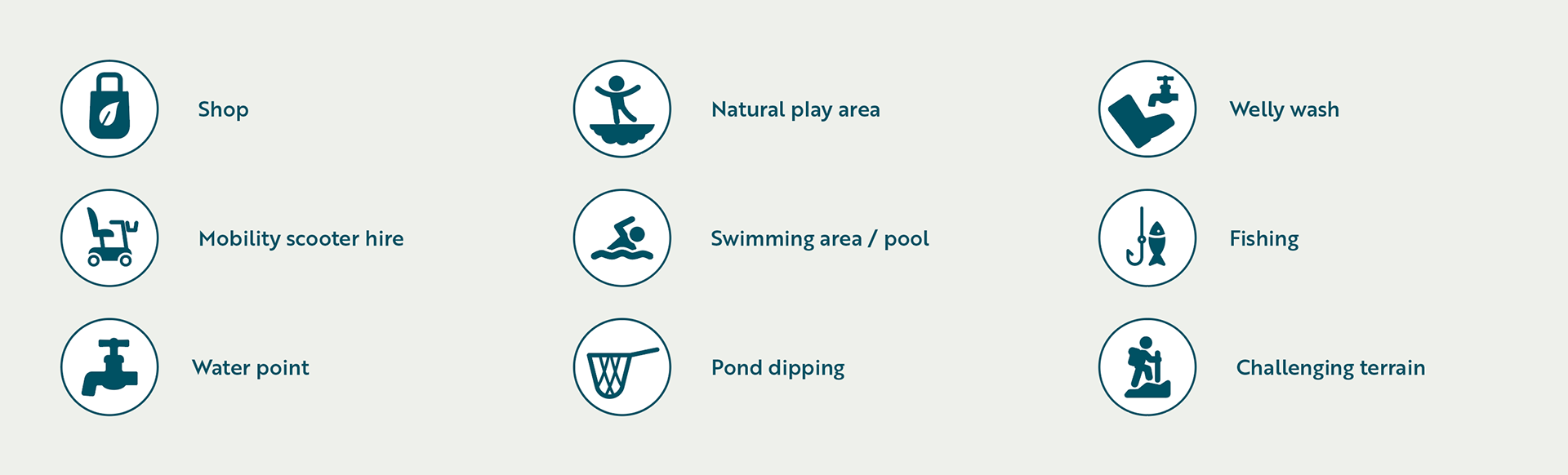
Three map types were developed to support different visitor needs: a general map for orientation and key information, a detailed access map highlighting routes, gradients and facilities, and a simplified family map designed to encourage exploration and engagement for children.
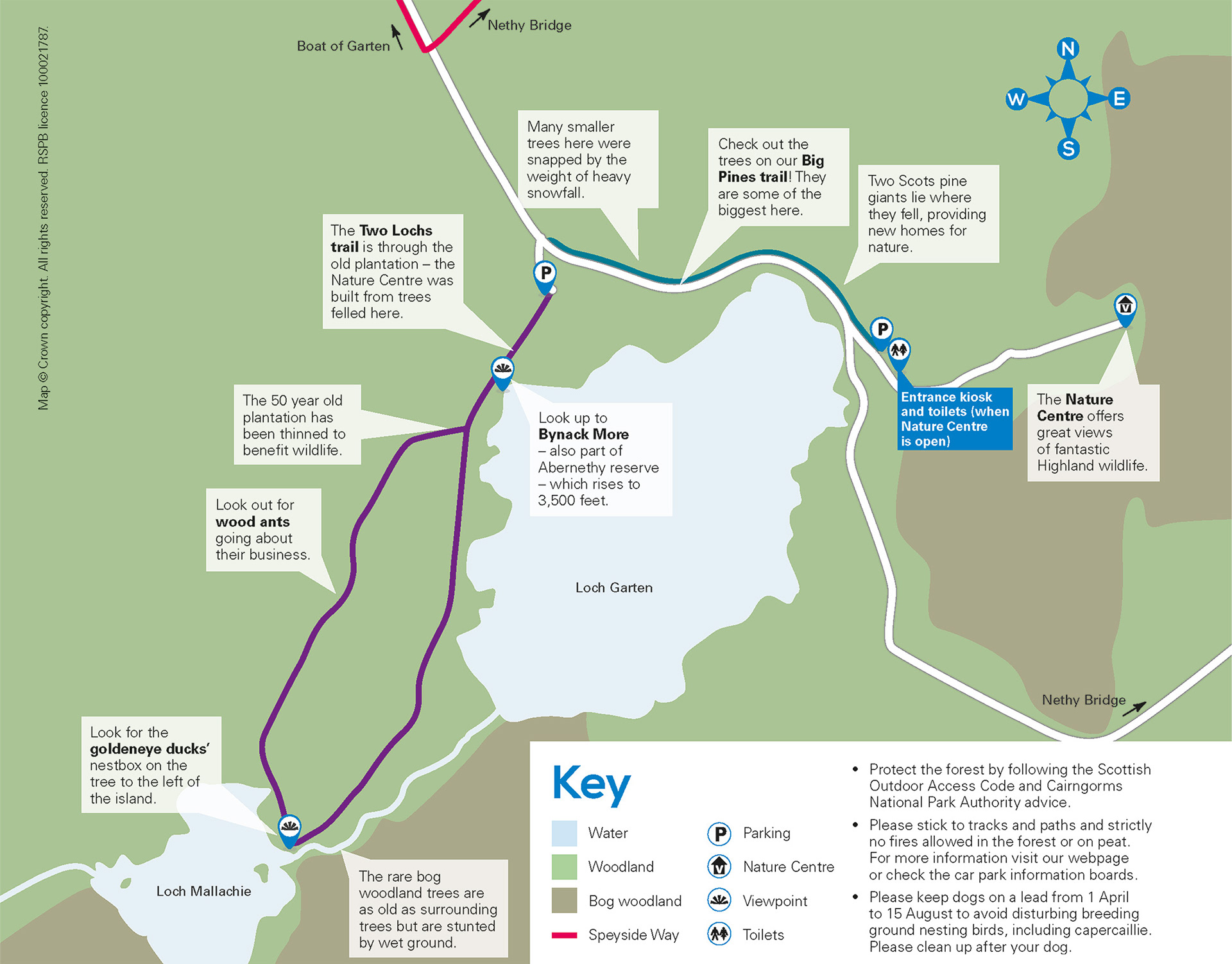
RSPB Loch Garten BEFORE
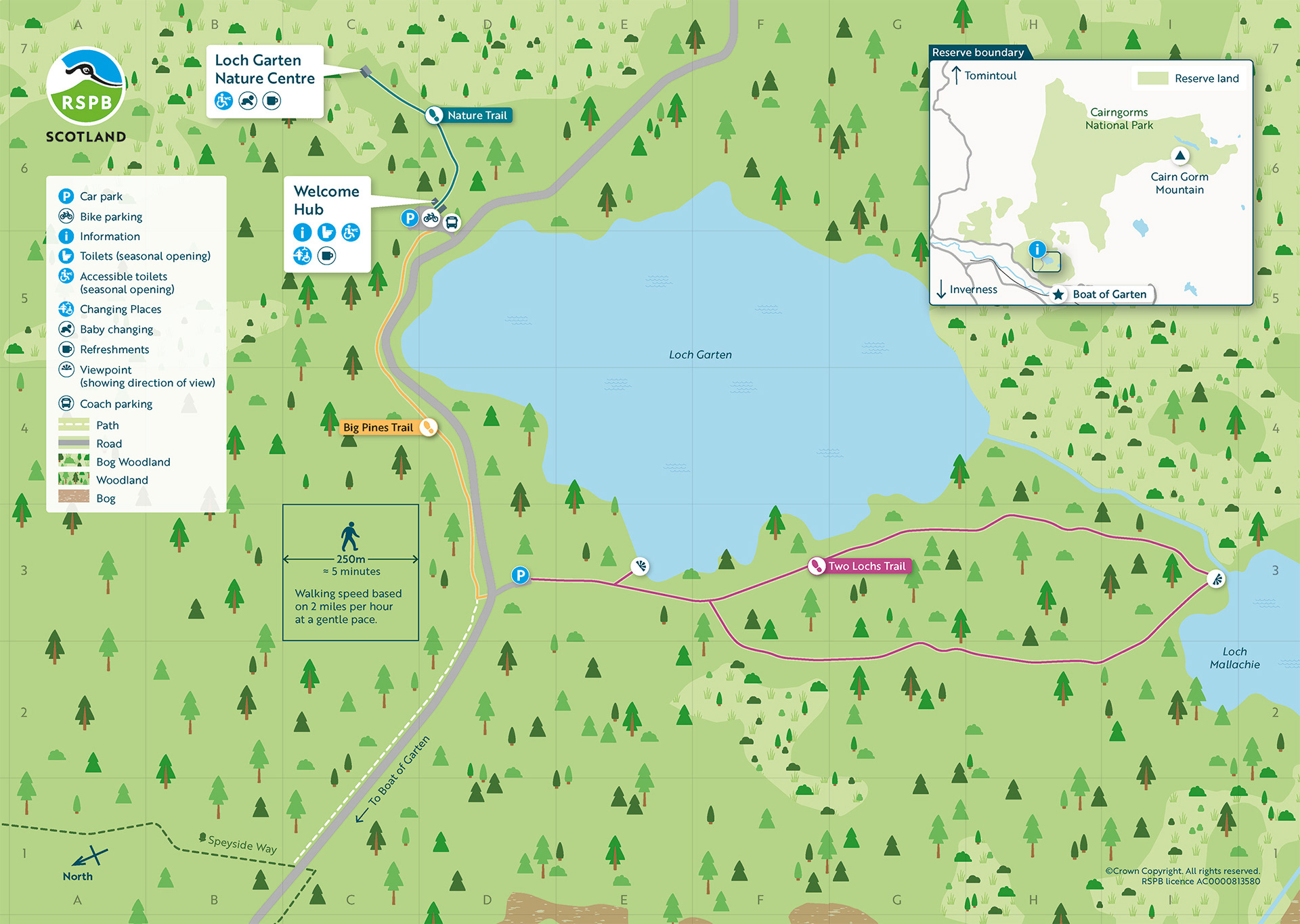
RSPB Loch Garten General Map
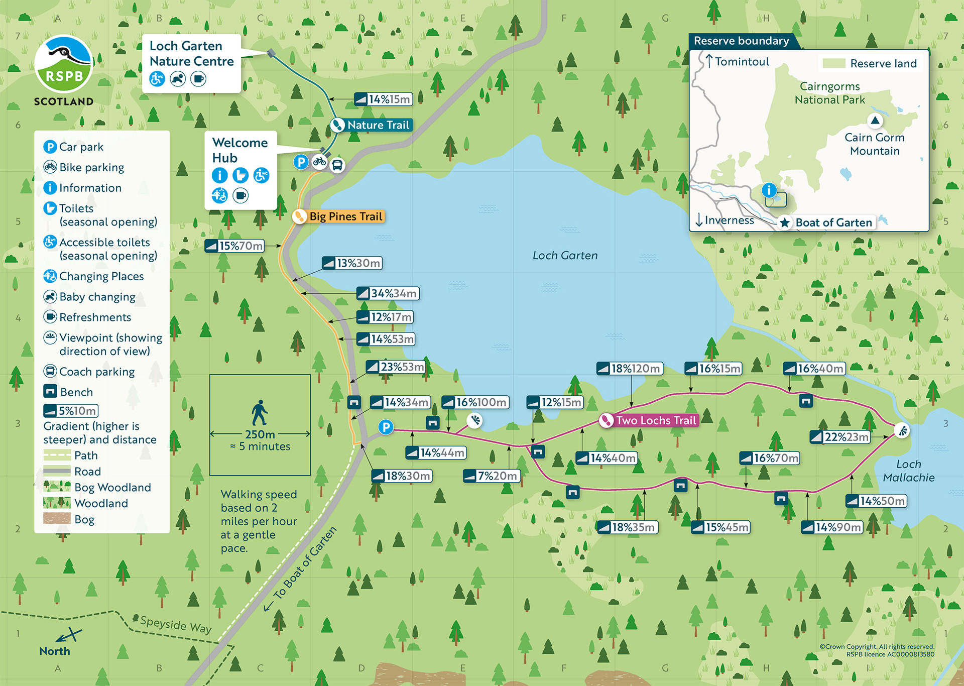
RSPB Loch Garten Access Map
All maps were reorientated to match up with the visitor’s arrival experience on site. So the map they looked at first time at the welcome area, matched the map in their hand.
Maps across the site were rotated to match their physical location, so what’s in front of you on the map reflects what’s in front of you on the ground. To support this, base maps were built for easy rotation, with elements such as trees created as brushes in Illustrator so they maintain correct orientation when adjusted.
Maps across the site were rotated to match their physical location, so what’s in front of you on the map reflects what’s in front of you on the ground. To support this, base maps were built for easy rotation, with elements such as trees created as brushes in Illustrator so they maintain correct orientation when adjusted.
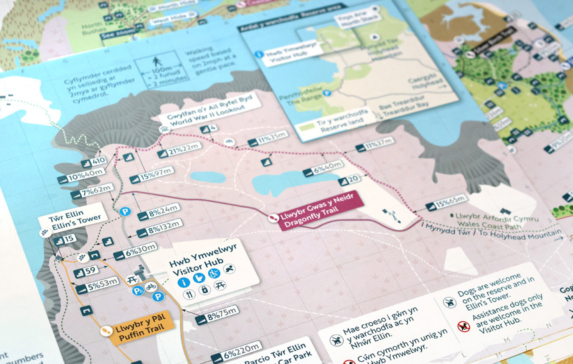
Dual language map print (Welsh and English)
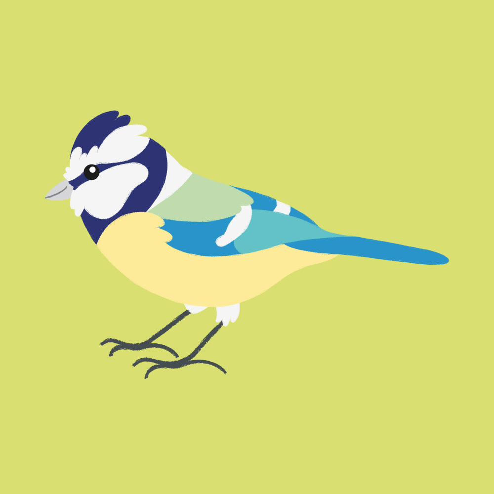
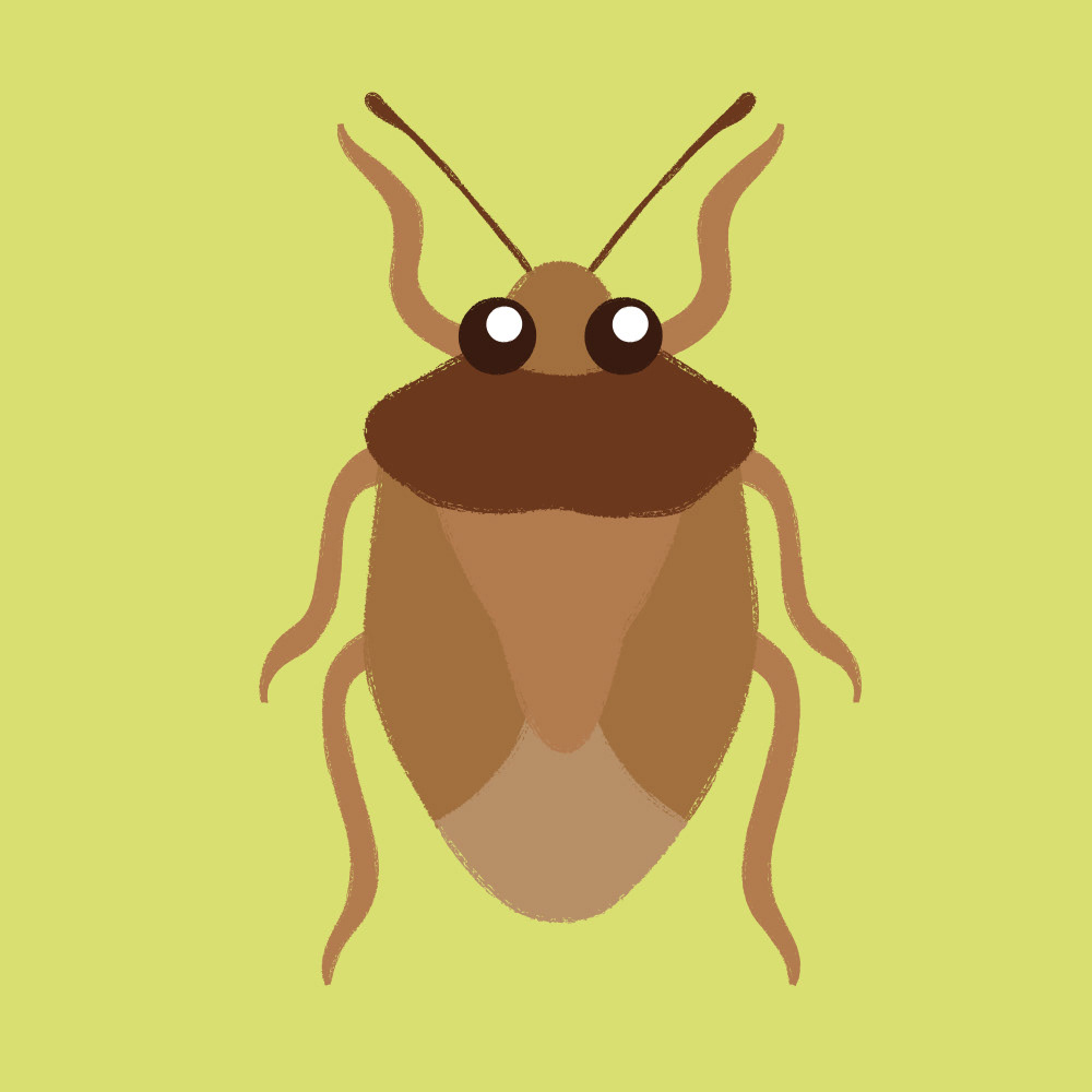
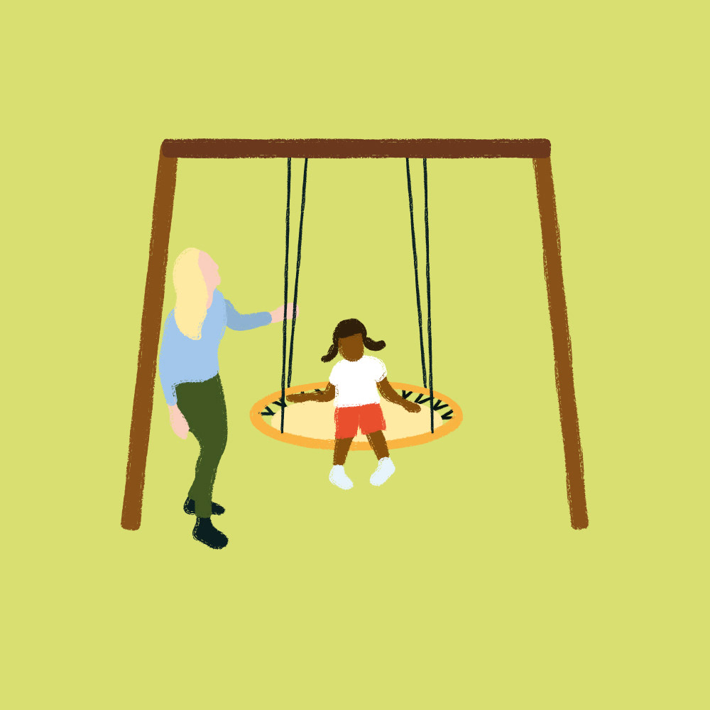
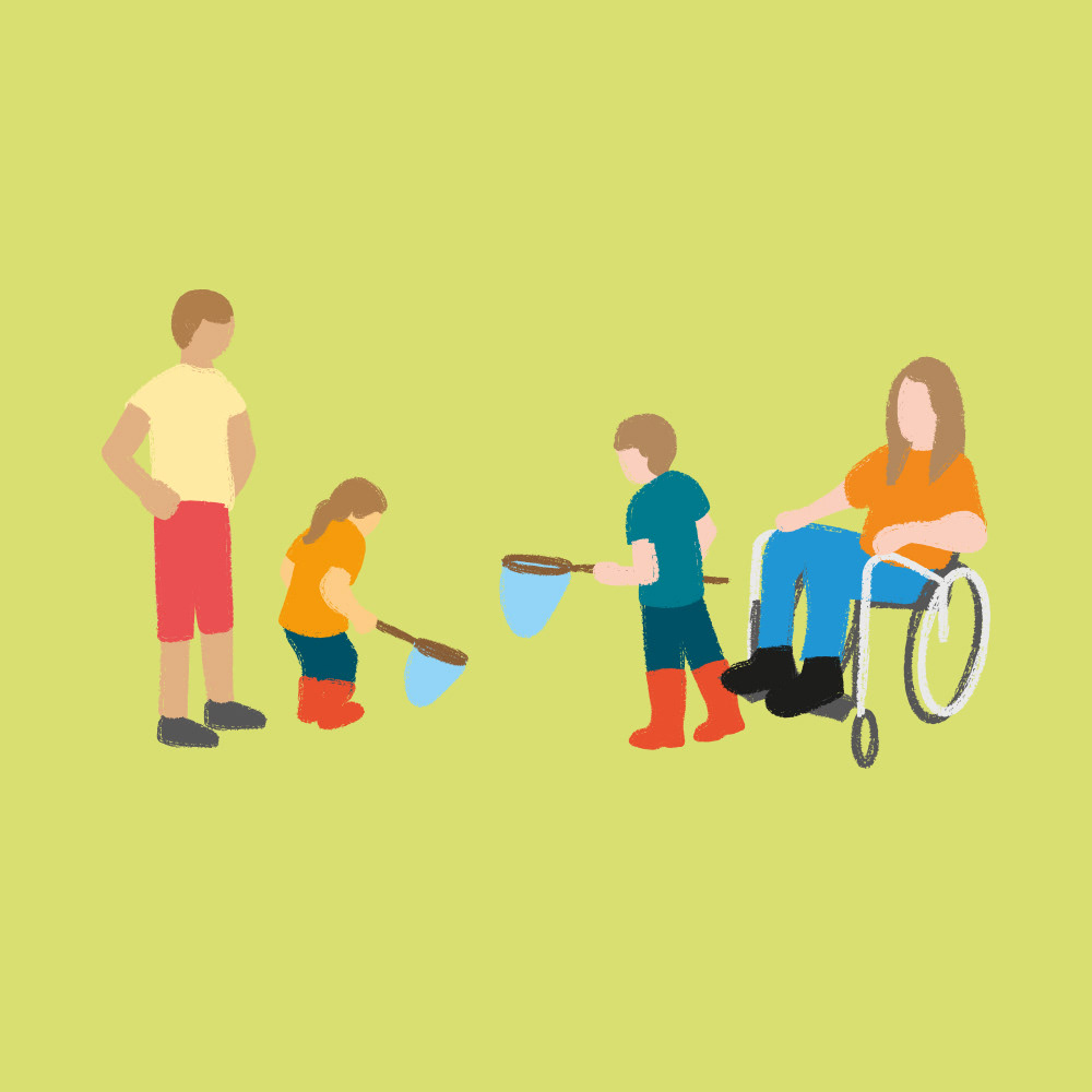
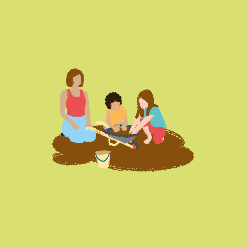
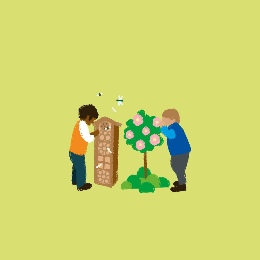
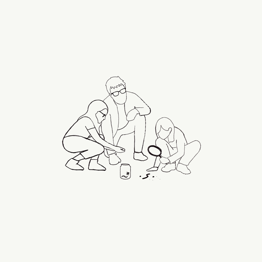
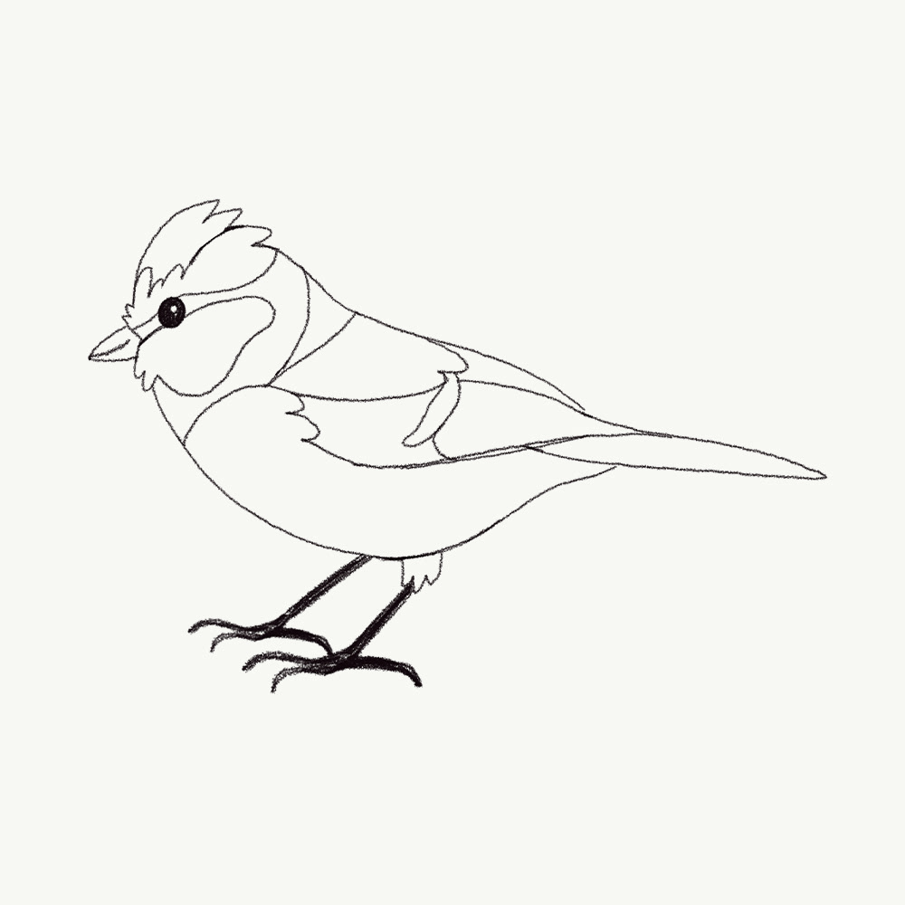
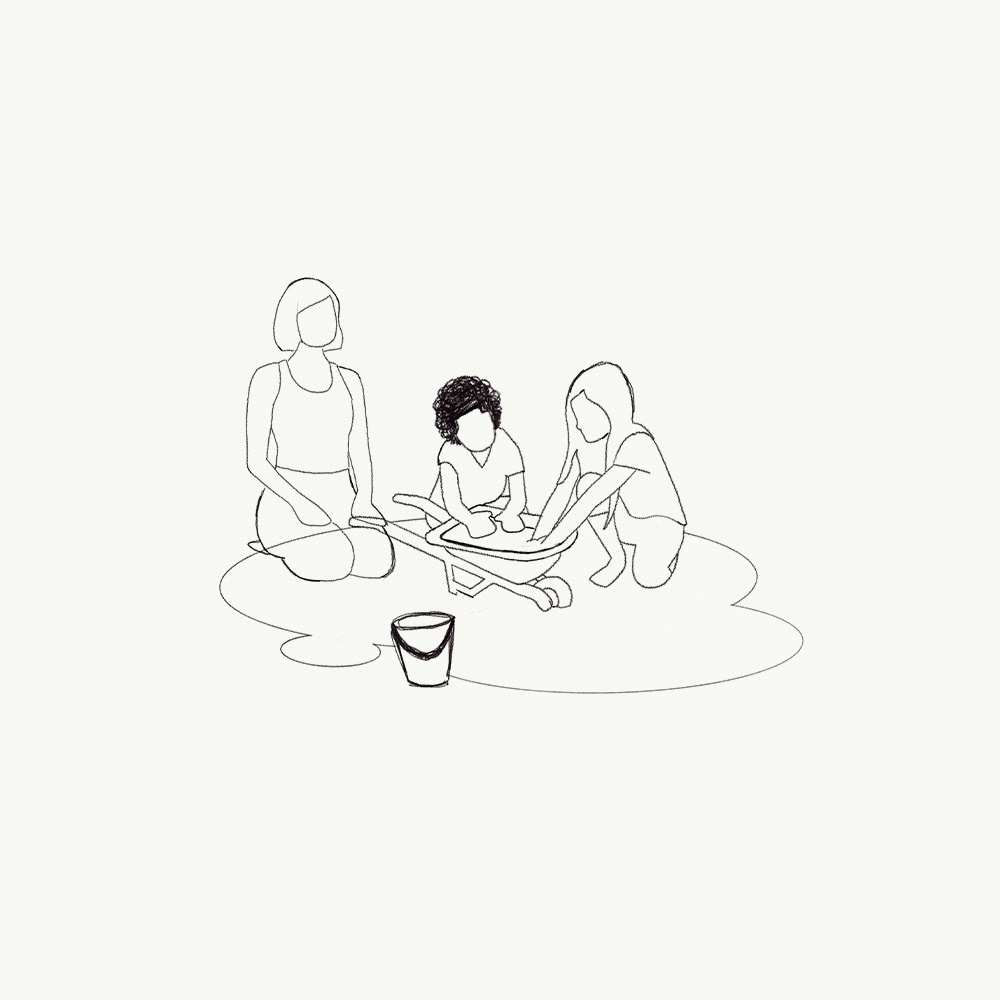
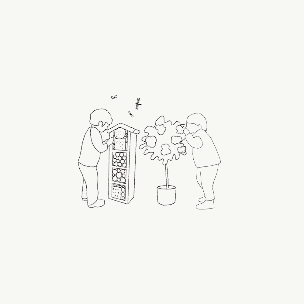
Family Map Spot Illustrations


Family maps show diverse, intersectional and multi-generational groups enjoying activities together.


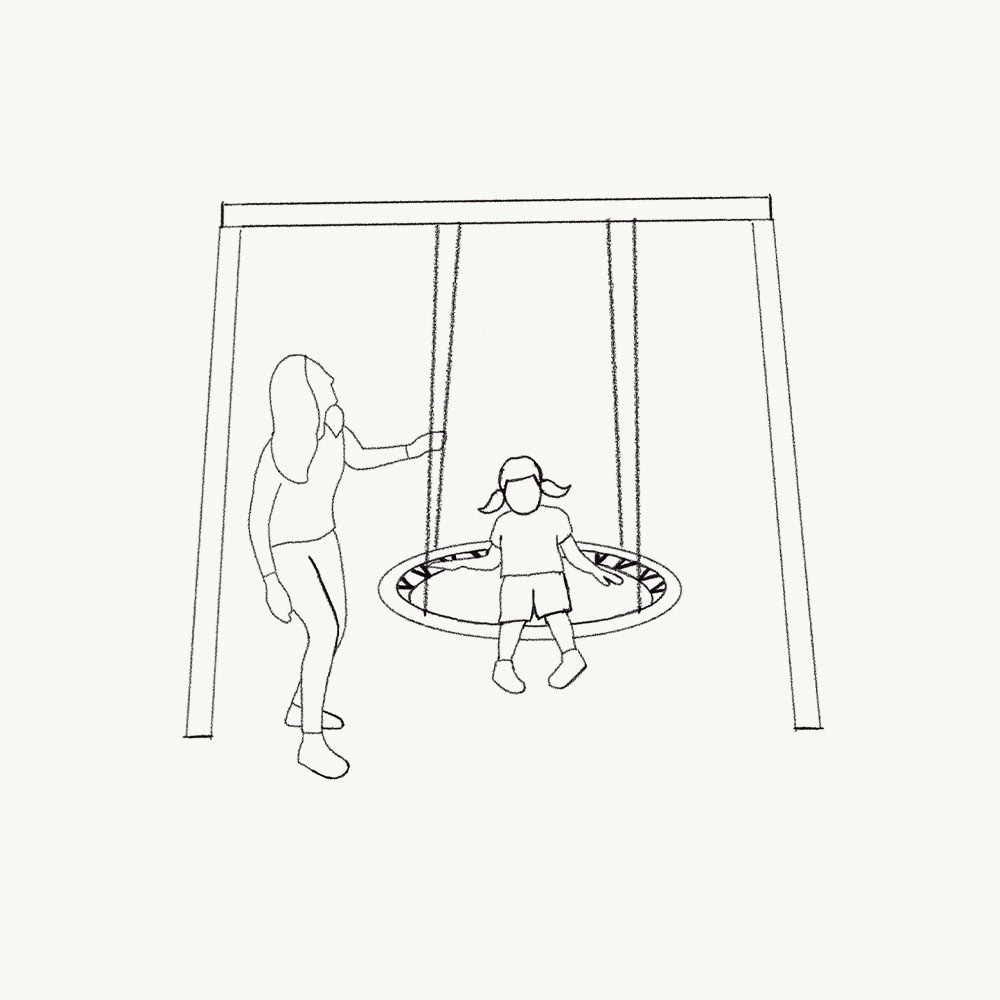
Original Sketches

Credits
This 100% vector map was created by Ben Horne – Ben Makes Maps with Adobe Illustrator and without the help of AI.
Map data from Ordnance Survey
Map data from Ordnance Survey
RSPB Licence: AC0000813580

Need a custom map for your project?
